We plan an early departure from Warm Creek Bay in order to be able to go as far north as we can, but return to Wahweap for the night if we need to. I get to handle the boat as Herb goes out to retrieve the anchor. He tells me to be sure not to go closer to shore and sticks, then head in a southerly direction until he comes back in. (My track doesn't wiggle much.)
We have breakfast underway and enjoy the sights, with anticipation of the more beautiful scenery as we go north.


We are impressed with the number of anchors on this houseboat. I can't see where the helm is.


I am not familiar with Lake Powell and ask Herb if it is man made. He replies, "Man made the lake with a dam; God made the land and water." I smile.
We use binoculars to search for the markers to guide us.
The first marker we see is a green can buoy numbered 15 by The Sand Hills. The legend on our map tells us the odd numbered ones will be green and on the port side as you go upstream. OK, so red right going north.

Now we know where we are. I look at the map for the next red and Herb sees it high on a cliff. We will definitely leave it to starboard!

This houseboat is towing a boat almost as large as ours, as well as a personal water craft.

We are having so much fun with what we see and making sure we navigate safely. We see a houseboat anchored at Gunshot Canyon. I would love to see the anchoring process.

When we find the 21 and 22, it looks like we can go straight and cut off a meander of the Colorado River bed. 21 and 22 are again shown on the other side of the meander. The depth finder agrees, so we continue straight. No problem. Herb shows me the Navionics, and if that is all we had, we would not have gone across, as it shows dry land.
He soon finds that the maps, Garmin, and Navionics program do not agree -- where are we? Searching ahead with the binoculars we see the green 25 and red 24 by Gooseneck Point.

We are kept busy searching with binoculars, and I use them more than my camera today. We pass Camel Rock at Gregory Butte after the 25, then see a second one named 25A -- then a third one that is simply 25 again with no letter. We realize some of the markers we see aren't even shown on the map. Where are we?
We always get excited when we see a C-Dory or Ranger Tug, and I run to photograph her on the starboard.


She is Frequent Sea; we slow to say Hello, and skipper waves.
Cruising along, we are always alert to other boaters coming and going, and notice that most of them go on the wrong side of the markers. Local knowledge?
More gorgeous scenery ....


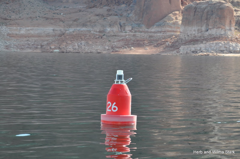
Another red 26. Where are we?


I love the tiny (probably pretty big) rock on top, which is located near the red 28 and green 29. Looking at the map, we think maybe we are just past Last Chance Bay at Grand Bench. Maybe we aren't sure exactly where we are, but we are doing fine. Staying busy!


With binoculars we see the marker for the next turn, but it just looks like from here that there is no channel ahead. We see it only when we are upon it. Exciting!

There are quite a few go-fast boats out today, but the wakes are not too bad. (Hey, no ferries to watch for!) We are now at red marker 36.

The water is not glass, but wind waves are not a problem.


As we pass Grotto Canyon, we are not sure we can see the entrance from the boat.
I think this rock feature near the red 40 reminds me of a walrus.

As we near the marina, we see a very fast small boat with flashing lights that looks like it could be Coast Guard or police. We think he may be going after a boat that was too fast in the no-wake zone.


Our options are running out for marinas that welcome pets, and we decide to cruise back to Wahweap to plan the rest of our trip south.
We see a houseboat towing an even larger boat behind. It that the dinghy?

Herb sets Willie's Tug to follow our track on the return, so we can now kick up the speed and burn some fuel to lighten our load when on the highway. The horse knows the way!
It is fun seeing the channel in reverse. At Castle rock we turned to port to see the dam.
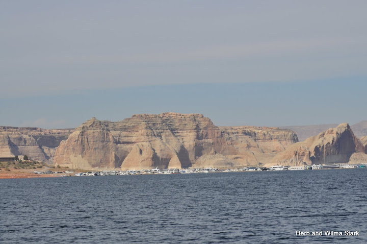
Antelope Point Marina has some very large yachts.


Do I see a No Wake sign at the marina?

We enjoy seeing the water skiier -- yes, it is summertime and warm water.

As we near the dam, we see traffic on the highway, and I am getting my bearings.


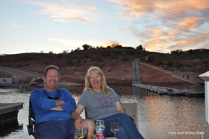
Jim and Joan join us on the dock in the evening, and little Izzy gets to come out to see Jake. I am not quick enough to get the photo of the two pets nose to nose, but I am delighted that Isabella tolerates him -- even briefly.
She is being adventurous today and comes to check out Willie's Tug. Or is she just trying to get away from Jake?

Joan tells us as she put Izzy back in her boat, she continued to look at the yellow boat. I think she says, "I have some yellow coloring in my fur; maybe I should have a yellow boat.

Willie of Willie's Tug,
and of Walldog, Willie and Jake
Monday, October 8, 2012
No comments:
Post a Comment