We really enjoy our time in Ketchikan and look forward to
another visit on the way south later in the summer. Today we leave at 9:45A under partly sunny
skies and I catch a glimpse of a beautiful black hull fishing boat as we leave
the marina.
It is nice to get another glimpse of Ketchikan and be reminded of all the bustling activity here.
 |
| Cruise Ships Docks |
 |
| Ketchikan Waterfront |
Our route today will take us through the Misty Fjord National Monument area up Behm Canal, for what we are told is incredible beauty.
Oh, but first Herb and Ray want to fish a popular area nearby. We turn east past the southern point of Revillagigedo Island toward Herring Bay, just past Mountain Point. It is flat calm and we thread our way through many, many boats drifting to fish the point. We find our spot, Nudibranch finds her spot, and Herb and Ray wet their hooks for salmon. I correct Willie’s Tug’s drift while Herb tries his luck.
 |
| Got Salmon? |
From time to time I report seeing the fish on sonar and hope he snags one. No luck! Ray calls on VHF that he didn’t have good luck either. Oh, well, next time maybe.
We continue south with wind waves at less than one
foot. It is 2,142 feet deep at this
point. Soon, with the wind behind us from
the southwest and the ebbing tide, we have ocean swells at two feet. Occasionally we have a 3 footer. This is our roughest water day yet, and we do
see a four footer.
We are glad to turn
around Point Nelson, where we don’t get the direct wind and the seas flatten to
less than one foot. We check out Carp
Island for anchoring, but it shoals up too quickly and is not very protected. Our best spot for the night will be Winstanley Island a few miles farther.
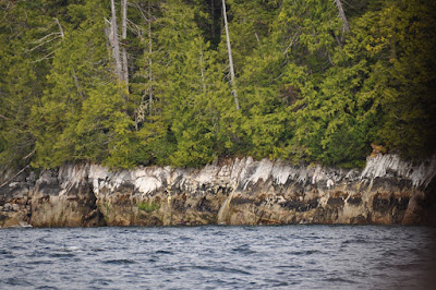
I am intrigued by the coloring on the rock shoreline, and Ray tells me it is mineral deposits. Some of them are shaped like bear's teeth.
 |
| Nudibranch Goes by Un-named Island |
We travel over a low area at a depth of 5.7 feet in the passage and anchor in 39 feet, letting out 200 feet of rode.
Ray takes Lilly ashore and investigates a cabin nearby, where a sign tells him it is reserved for the night. Later a small boat brings a family with children for a vacation. The skipper beaches his craft, then hooks the
mooring ball, while the children swim.
Low tide reveals beautiful beaches as well as dangerous rocks in the shoaled area.
Late in the afternoon Ray and Lilly come over for Happy Hour and Lilly finds her comfy spot inside the cabin.
 |
| Photo courtesy of Ray Perry |
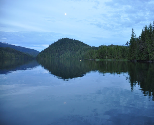
Our days are quite long at this time of the year and at this northern latitude, where the sun is still high in the sky and reflected in the calm blue water.
Willie of Willie's Tug,
and of Walldog, Willie and Jake
Sunday, June 28, 2015
and of Walldog, Willie and Jake
Sunday, June 28, 2015
I can’t find any eagles here.


No comments:
Post a Comment